Barranco de Ruiz: Hiking to La Vera and the Coast at Las Aguas
Barranco de Ruiz brings together some of northern Tenerife’s most distinctive scenery: steep volcanic slopes, traditional stone paths, cultivated terraces and Atlantic views. Starting beside the coastal road near San Juan de la Rambla, the climb towards La Vera reveals the ravine’s scale, while the nearby coastal path adds a different perspective on this agricultural corner of the island.
In this guide
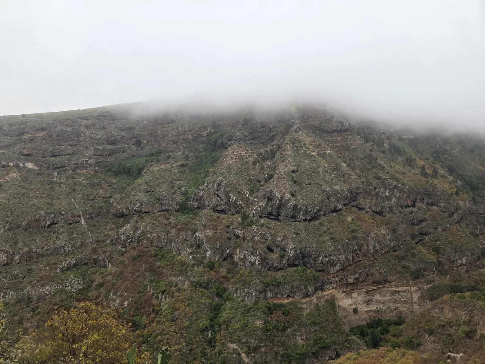
Where is Barranco de Ruiz?
Barranco de Ruiz lies between San Juan de la Rambla and Los Realejos on Tenerife’s northern side, west of Puerto de la Cruz. Its lower reaches meet the coastal corridor near Las Aguas. The usual starting point for the uphill walk is the Área Recreativa Barranco de Ruiz, beside the TF-5.
The protected ravine is designated a Site of Scientific Interest and covers approximately 95.6 hectares. Its ecological importance includes vegetation associated with the transition between drier coastal habitats and more humid woodland. For walkers, the immediate attraction is the combination of substantial rock walls, changing views and old paths connecting cultivated land with hillside settlements.
“Barranco de Ruiz” describes an area rather than one universally agreed circuit. A return climb to La Vera, the longer route towards Fuente del Rey and a circuit incorporating Las Aguas have different distances and demands. Check the actual itinerary before adopting figures from a downloaded track.
The Barranco de Ruiz climb to La Vera
From the recreational area, the traditional path climbs the western side of the ravine towards Orilla de La Vera and Cruz de los Rodríguez. Stone paving, steps and zigzags help negotiate the slope. This is primarily a hillside ascent with views into the barranco, rather than a continuous walk along its bed.
The opening climb gains height quickly. Take a comfortable pace and pause where the path offers sufficient space: looking back reveals how close the deep ravine lies to the sea. The changing angle towards the opposite wall is part of the walk’s appeal, particularly when cloud moves across the upper slopes.
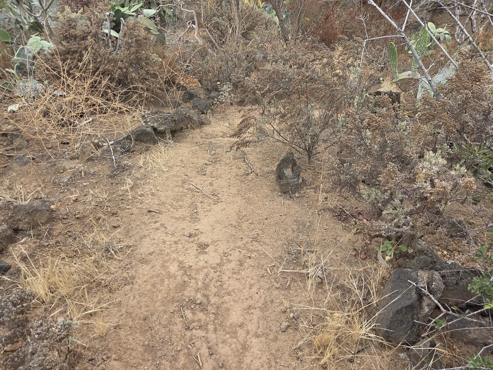
Cruz de los Rodríguez is a useful landmark near the upper end of the climb. Reaching the settled and cultivated ground around La Vera changes the atmosphere: the enclosed ravine gives way to lanes, terraces and broader coastal views. For a focused outing, return by the same path, leaving enough energy for the descent.
Continuing towards Fuente del Rey
The municipal Camino Risco de las Pencas description links Mirador Fuente del Rey with the recreational area via La Vera. It gives 3.2 kilometres and approximately 1 hour 30 minutes for the described downhill itinerary. These figures are not the length or duration of a return hike from the bottom.
Continuing uphill adds walking beyond Cruz de los Rodríguez, including village roads. Decide on that extension before setting out, using a map that clearly distinguishes the footpath from the road sections.
Nature, terraces and the ravine’s farming heritage
Barranco de Ruiz is both a natural landscape and a record of rural work. Stone retaining walls made cultivation possible on sloping ground, while water channels and pipes show the importance of distributing water between plots. The old mill near the lower route adds another connection with the area’s agricultural past.
The vegetation varies with exposure, elevation and former land use. Rocky slopes carry scrub and plants rooted in crevices; more sheltered parts of the protected area preserve woodland communities. Some abandoned agricultural ground is gradually being recolonised. Do not expect the entire visitor route to resemble a dense laurel forest.
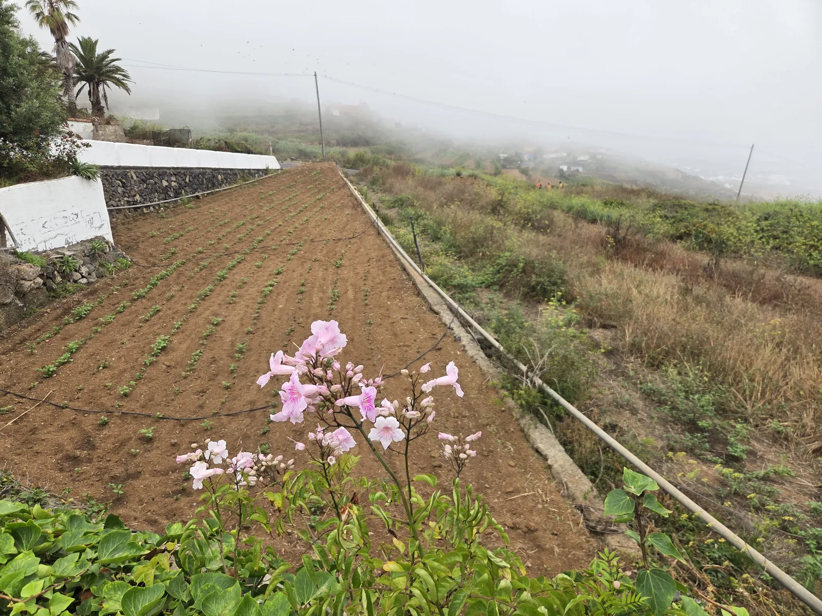
Stay on the public route through this working countryside. Terraces, reservoirs and farm entrances are not additional viewpoints or picnic areas. Looking at the relationship between paths, water infrastructure and fields makes the walk more rewarding than treating the ascent simply as a way to reach the top.
Adding the coastal walk to Las Aguas
The coast below the ravine deserves attention when planning a longer outing. The municipal Las Aguas trail connects Las Aguas with La Rambla, also known as El Rosario, and the Barranco de Ruiz area. Its published reference is approximately 1.5 kilometres and one hour for the described route, not a complete mountain-and-coast circuit.
This section exchanges the ravine’s steep interior for coastal farmland, sea views and traditional houses. The Ermita del Rosario and its small surrounding square provide a cultural stopping point along the old Camino Real. Farther west, Las Aguas occupies a rocky stretch of shoreline, with white buildings overlooking the Atlantic.
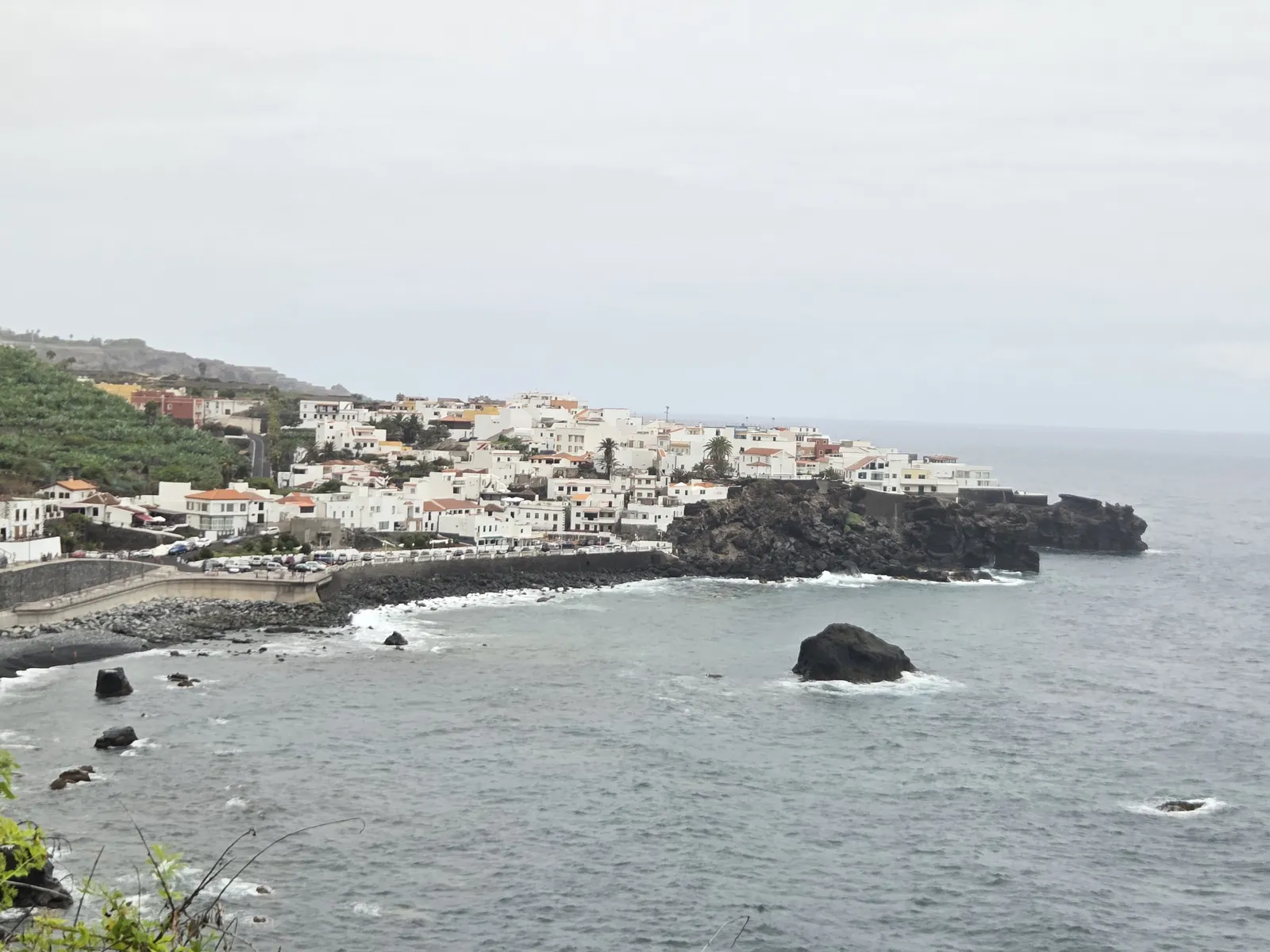
A circuit combining La Vera, San Juan de la Rambla and the coast needs a checked track: the inland and coastal sections are not joined by one continuous ravine path. Allow for lanes, junctions and the connection across the main-road corridor. Keep swimming separate from the hiking plan; rough seas can make entering the water inappropriate even on a pleasant walking day.
How difficult is the hike?
The main ascent suits walkers comfortable with sustained uphill effort and uneven ground. Stone steps can be tiring, loose material requires attention, and damp paving may become slippery. The return descent can be harder on knees than the climb suggests. This is unsuitable terrain for pushchairs or wheelchairs.
Rockfall is a specific local hazard, identified on the trail’s information board. Check current notices through Tenerife ON and the municipality before travelling, particularly after heavy rain, and follow any restrictions posted at the entrance. An older route description or photograph does not establish today’s access conditions.
Wear hiking footwear with reliable grip and carry water, a snack, sun protection and a light waterproof layer. Save your map offline. Choose settled weather with comfortable temperatures: northern cloud can soften the heat, but it does not guarantee cool conditions throughout the climb.
Getting there and planning your day
For the lower trailhead, navigate to Área Recreativa Barranco de Ruiz. The island’s official visitor information identifies parking at the recreational area beside the TF-5. Follow the signed road approach and permitted turning arrangements; do not improvise a crossing or stop on the carriageway.
For public transport, use the TITSA journey planner to check connections to Barranco de Ruiz or San Juan de la Rambla. Confirm the precise stop, walking approach and return service, especially if finishing somewhere different from your starting point.
Reserve a half-day for an unhurried visit rather than squeezing the climb between appointments. A return walk to La Vera keeps the logistics straightforward; adding Fuente del Rey or the coast requires more time and a defined route. The best plan leaves room to enjoy the ravine, understand its farming landscape and descend without rushing.